Spotted Tiger |
Tel: 01263711609 Email: janevenworth@hotmail.co.uk Web site: https://www.spottedtiger.co.uk/ |
|
Code: 10137
Dimensions:
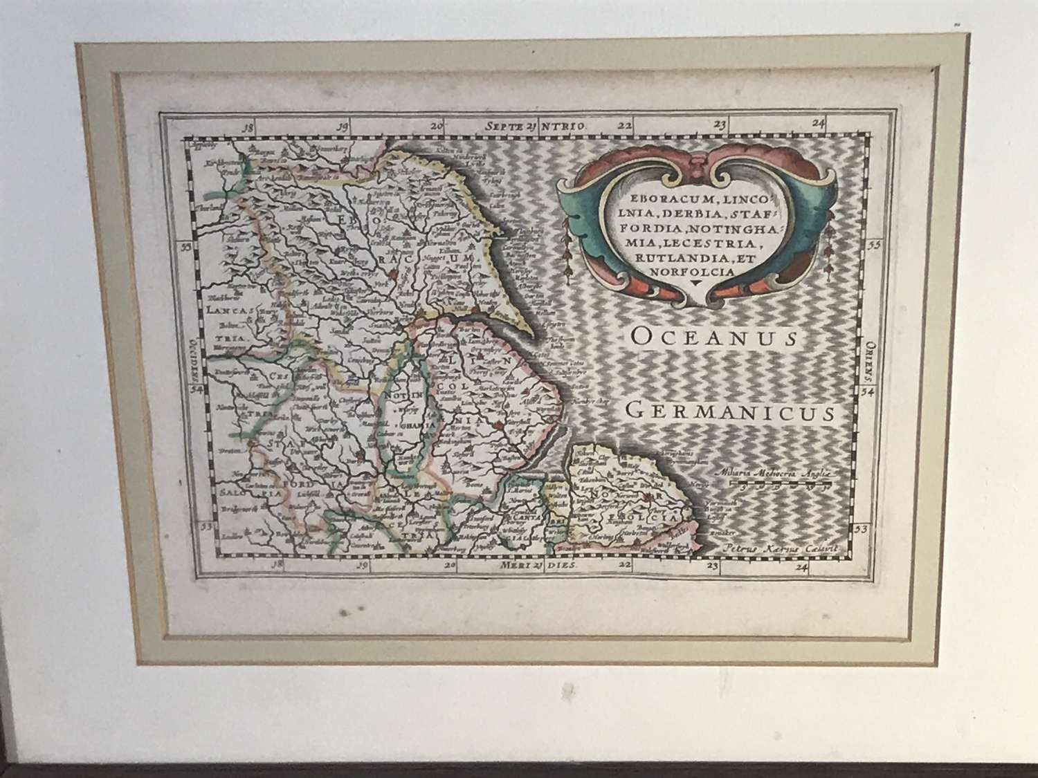
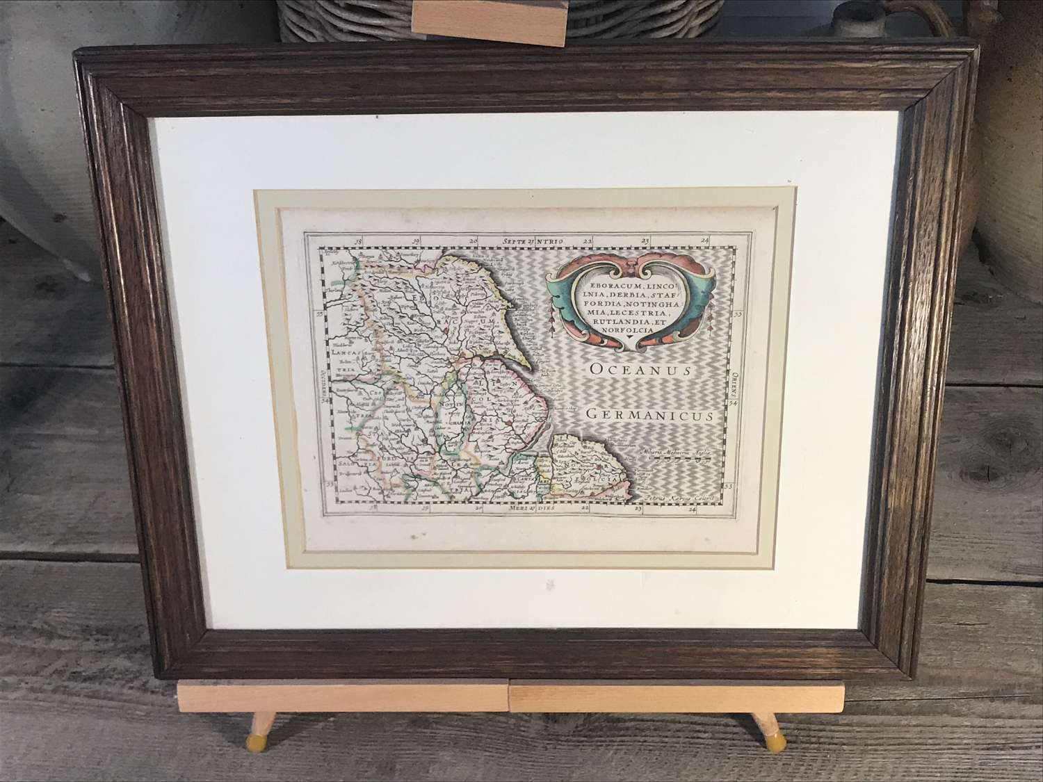
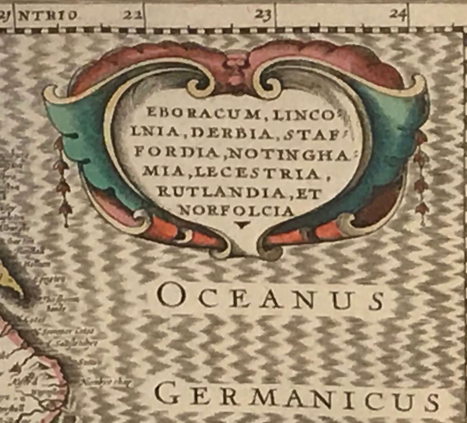
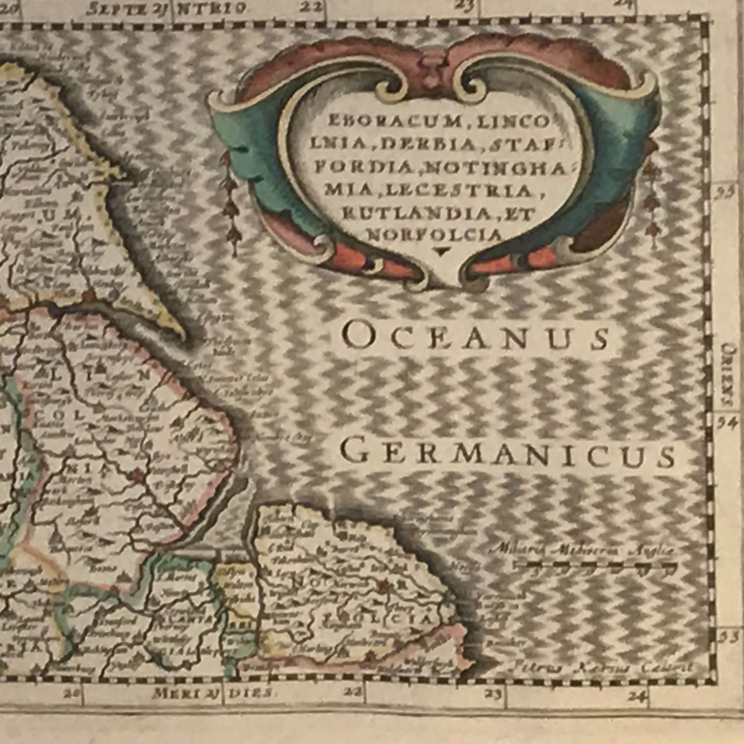
A map of the Eastern side of England including the counties of Yorshire, Lincolnshire, Rutland, Leicestershire, Nottinghamshire, Staffordshire and Norfolk.
Published in 1673 by Dutchman Janssonius Van Waesberge it was almost certainly part of an Atlas.
Nicely hand coloured, double mounted and in a good oak frame.
Dimensions include frame.